Pilot
Fastest entry point:
Best for a proof-of-concept or early stakeholder demo.
- Local drone footage
- 1 location
- Up to 3 SLR scenarios
- 2D video only
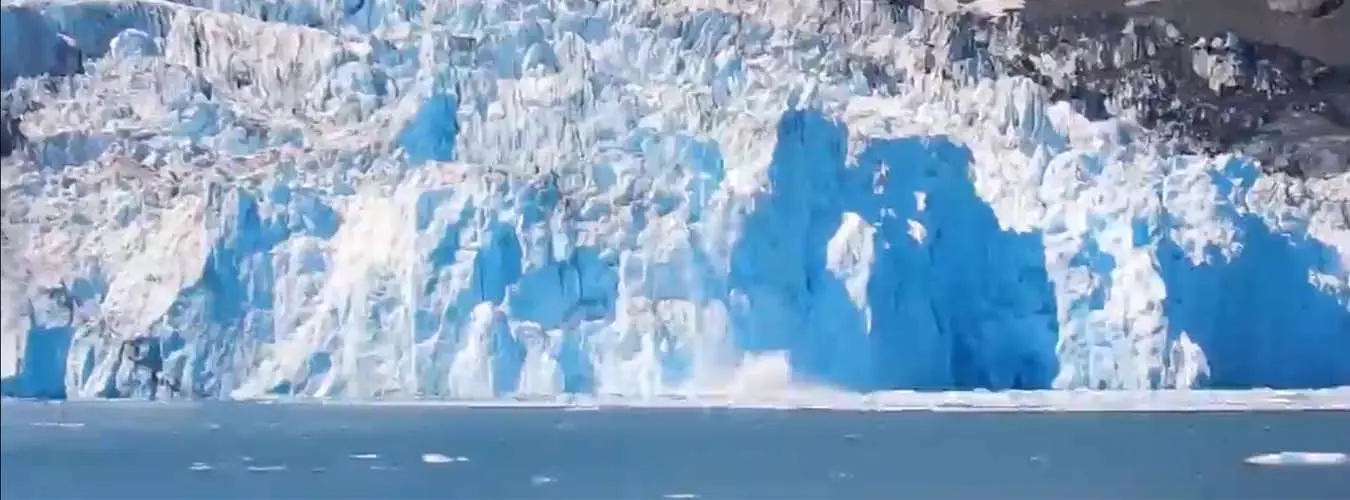

The Sea Level Rise Explorer transforms flood projections into immersive experiences — helping cities, NGOs, and communities turn data into decisions.
Immersive and interactive storytelling in 3D (VR, 360 degree video, web) packages for cities, NGOs, consultants, and community partners.
Fastest entry point:
Best for a proof-of-concept or early stakeholder demo.
Full package:
Best for grant-funded engagement, planning, and outreach.
Customizable engagement:
Best for tailored projects with flexible platform and content options.
Expanded engagement:
Best for multi-site projects with deeper customization.