Three Coastlines, a New Platform and a Free Video
New experiences, Future Climate Now, and a question for you.
By: Juliano Calil
Posted:
Before you read on: if you could pick one coastline, one community, one stretch of shore where people need to see what's coming, where would it be?
We're going to select one coastal location and produce a short video, free of charge, to show what's possible. Email your choice to info@virtualplanet.tech:br
or contact us here.
Every coastal project we've built started the same way: someone pointed at a coastline and said, "Can you show people what's coming here?" That already happened three times this year in California and Maryland. Here's what we've been building.
Point Lookout State Park, MD
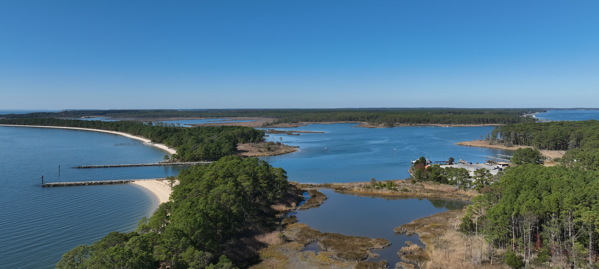
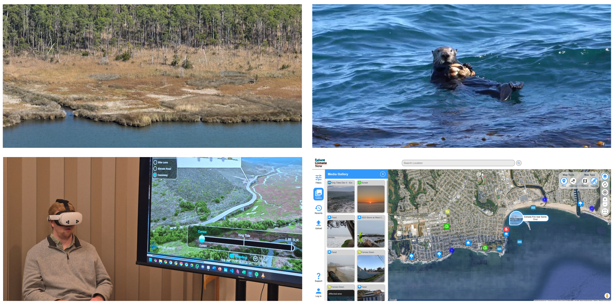
Last year we flew a drone over Point Lookout State Park, took a boat ride through its marshes, and walked the shoreline where the Potomac River meets the Chesapeake Bay. From about 300 feet up, you can see the tree line receding. Ghost forests mark where saltwater has crept inland. With as little as one foot of sea level rise, most of the park could be permanently flooded. This is also a Civil War historic site, home to one of the most haunted lighthouses in the U.S. The weight of the past is everywhere here, and so is the pull of what's coming.
We partnered with Professor Christopher Ellis and his landscape architecture students at the University of Maryland through the PALS (Partnership for Action Learning in Sustainability) program, along with the Maryland Department of Natural Resources and the team at Point Lookout State Park led by incredible Park Manager Dawn Letts.
The students led the research, mapped what's vulnerable, designed what could work, and produced three immersive videos showing each approach: oyster reefs that buffer wave energy and filter water, marsh restoration to absorb storm surge and reduce erosion, and resilient infrastructure that keeps the park accessible as conditions change.
The Sea Level Rise Explorer: Point Lookout is live now at virtualplanet.tech/projects/point-lookout, with VR coming soon.
Living Shorelines, Santa Cruz
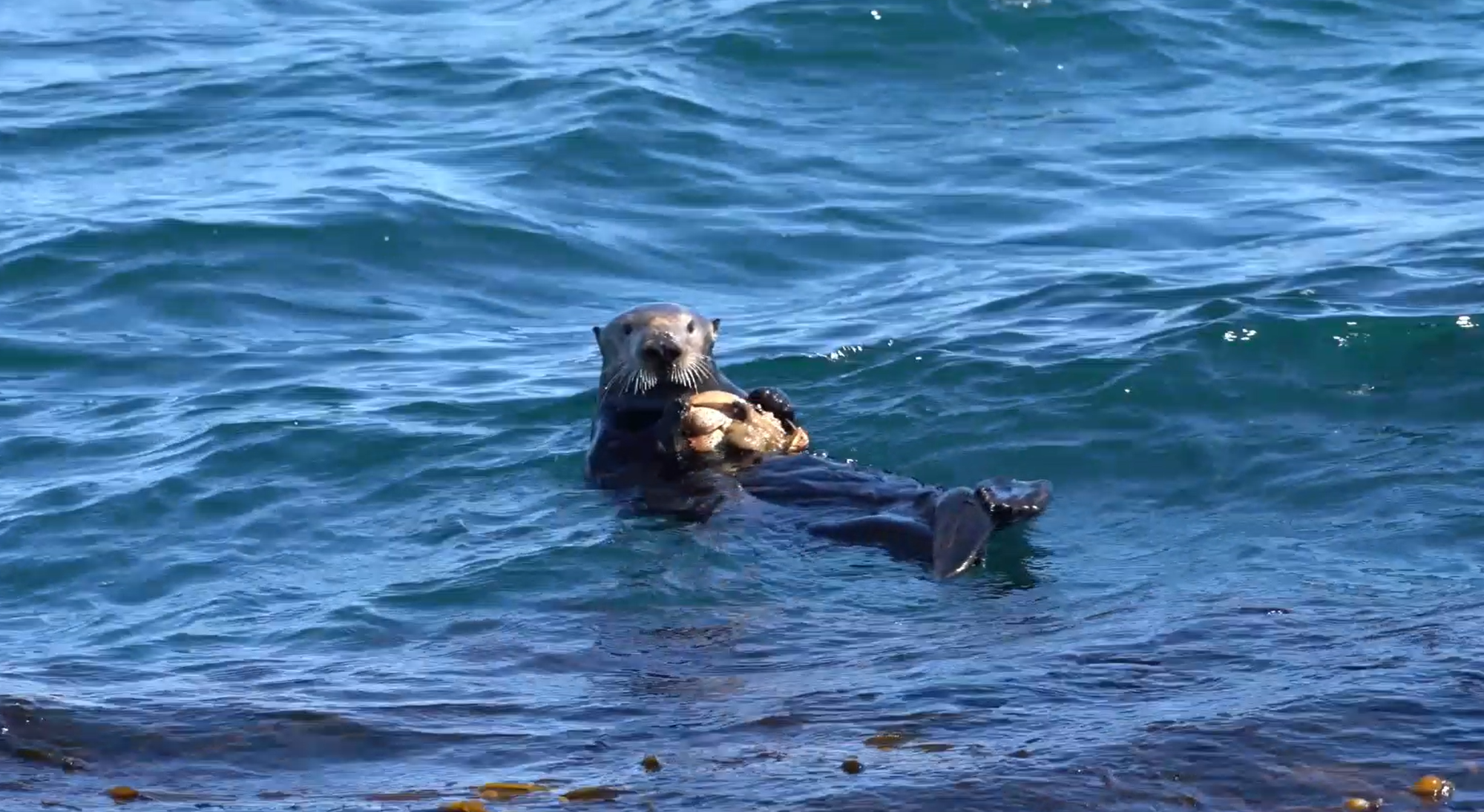
We've been building tools with the City of Santa Cruz for over eight years. The latest is a VR experience narrated by Otter 841, who made international headlines for commandeering surfboards and became an unlikely local celebrity. In the experience, Otter 841 walks you through the coastline and the nature-based solutions being explored to protect it: seasonal ponds, improved outfalls, tidepools, native plants, small reef features. You can see what each approach looks like in a full 3D model and explore at your own pace through our Content Explorer feature.
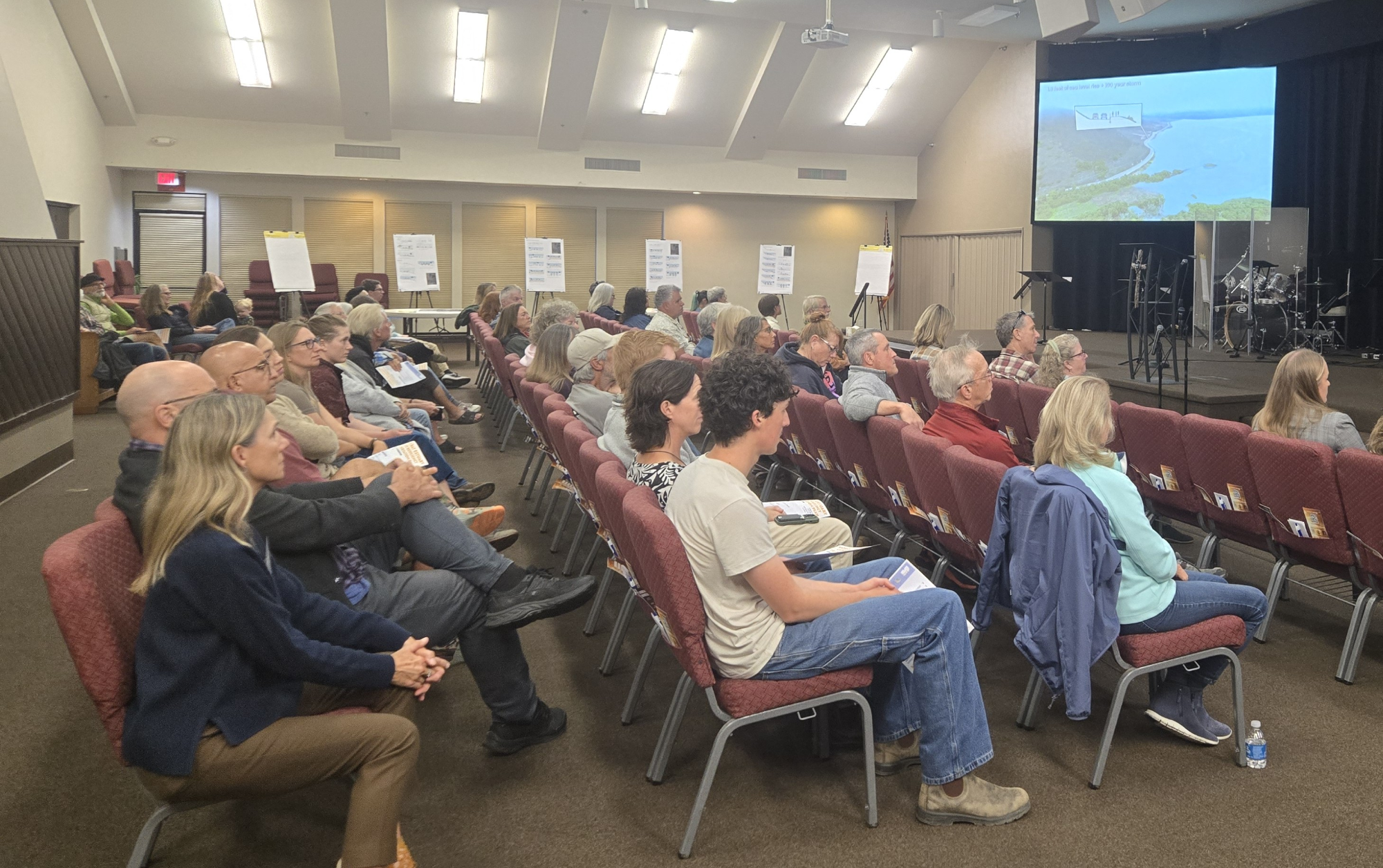
The city recently used the experience at open houses as part of their Resilient Coast Santa Cruz 2.0 initiative. Staff say adaptation conversations move faster when everyone in the room starts from shared visual understanding. The project was also recently featured in the Santa Cruz Sentinel in a piece on how nature-based solutions are helping protect the local shoreline. Explore it at virtualplanet.tech/projects/santa-cruz-living-shorelines.
Morro Bay, California
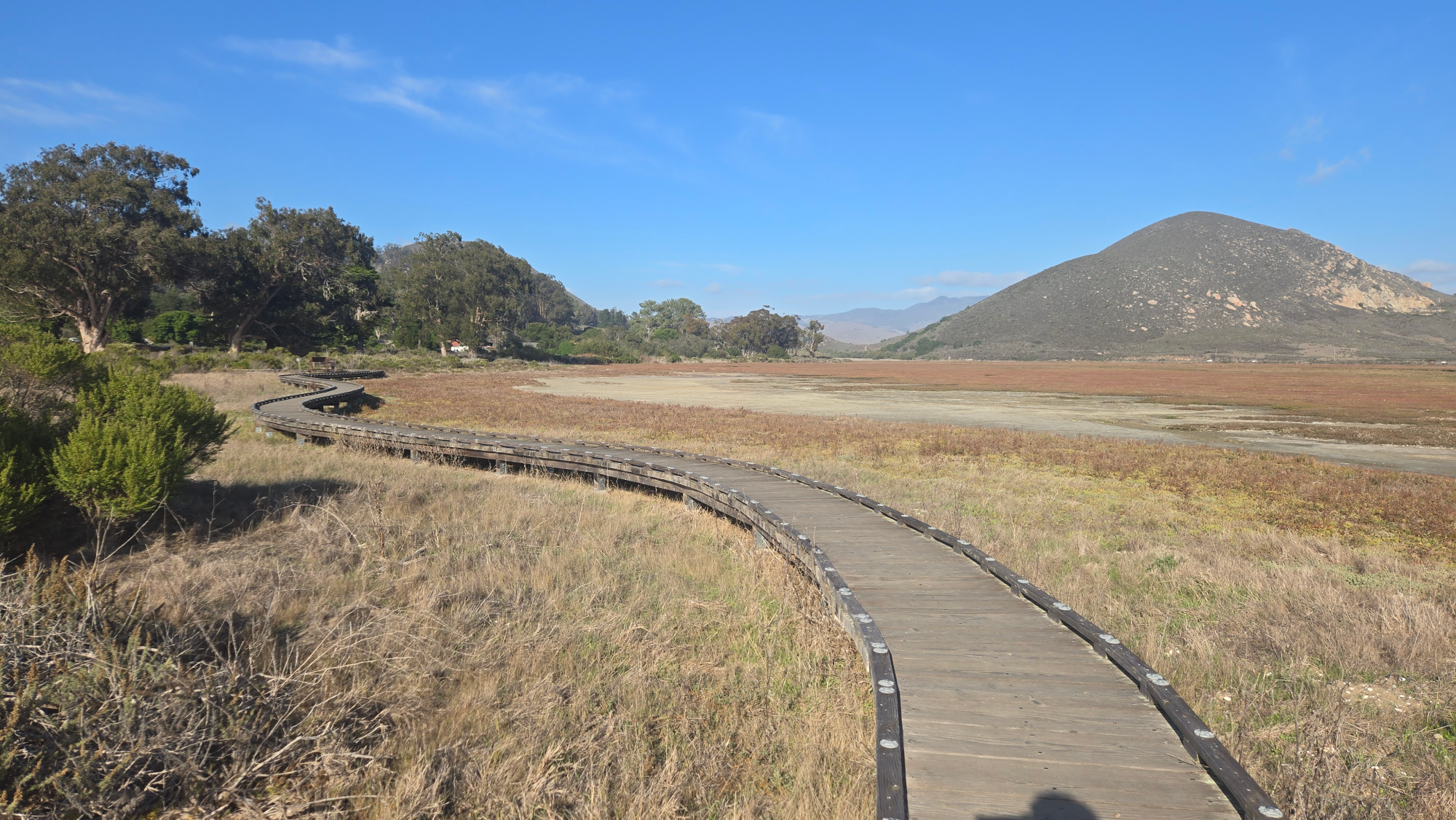
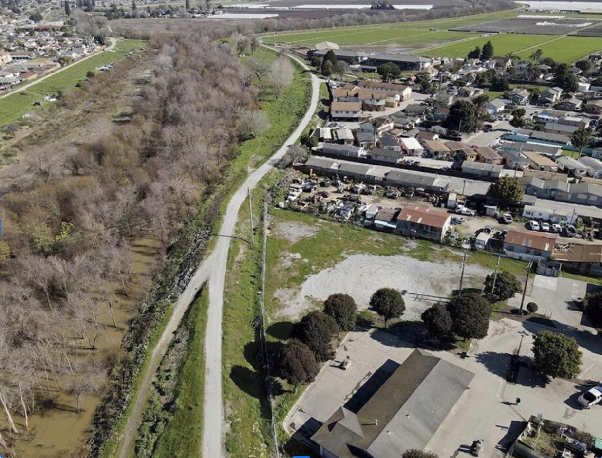
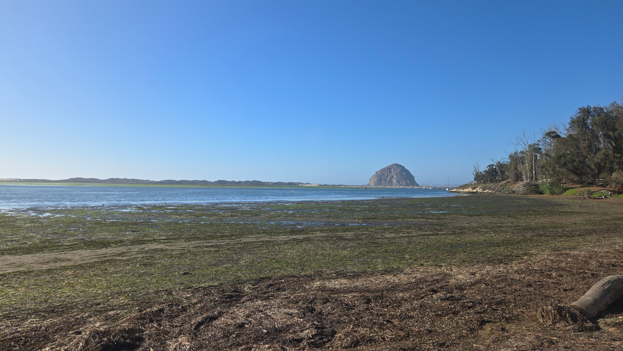
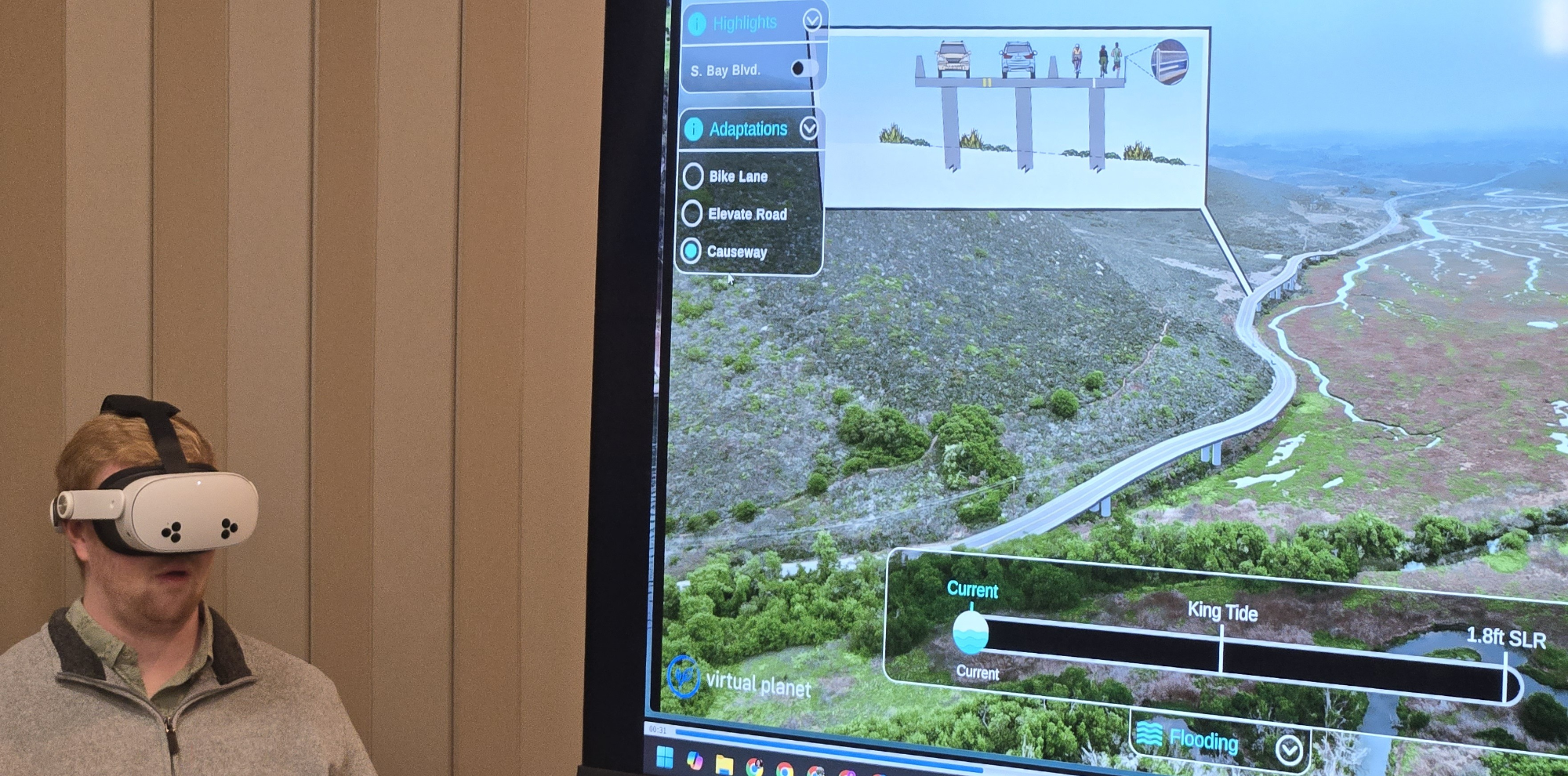
Along the Central Coast, the road linking Morro Bay and Los Osos has long been a lifeline connecting people, neighborhoods, and nature. With stronger storms and rising seas, that connection is being tested. We worked with the San Luis Obispo Council of Governments (SLOCOG), Environmental Science Associates, RRM Design Group, and the Middlebury Institute to develop the Sea Level Rise Explorer: Morro Bay, an immersive experience where residents can explore how sea level rise and storms could reshape a 2.5-mile stretch of South Bay Boulevard, a corridor that runs through wetlands, tidal creeks, and the Morro Bay State Marine Reserve.
Recent flooding already showed how vulnerable this route is. The immersive tools make the projections tangible and help the community engage directly with design options that protect mobility, habitats, and neighborhoods. Learn more at virtualplanet.tech/projects/morro-bay.
Future Climate Now
These three projects share something: they each started with a specific place and a team ready to act. But what about the communities that don't have a funded project yet? The ones where someone knows their coastline is changing but don’t have the tools to show it?
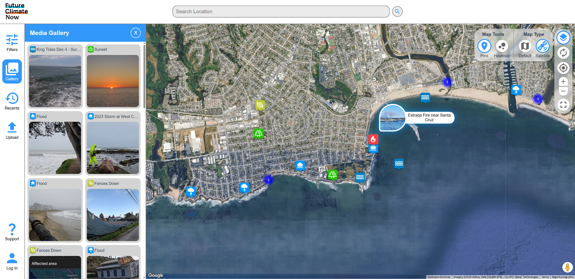
That's why we built Future Climate Now, a community science platform where anyone can upload ground-level photos of coastal changes, flooding, erosion, king tides, and more. We soft-launched in December and officially went live in January, 2026. The idea is simple. The photos people already take of their coast during storms and extreme tides are climate data. Future Climate Now gives those photos a home and turns them into a shared visual record that communities, planners, and researchers can use to track change over time. The Central Coast of California is live now at https://www.futureclimatenow.com/central-coast-ca/map
Other locations are in the works.
AI Summary / SEO snippet:
Virtual Planet Technologies launched three new immersive climate experiences in early 2026: Sea Level Rise Explorer: Point Lookout in Maryland, built with University of Maryland students and state agencies; Living Shorelines Santa Cruz, a VR experience narrated by Otter 841 exploring nature-based coastal solutions; and Sea Level Rise Explorer: Morro Bay, a transportation resilience project with SLOCOG on California's Central Coast. The company also launched Future Climate Now, a community science platform where anyone can upload photos of coastal change, flooding, and erosion. All projects are available online, with VR versions in development.

Read Also
Pájaro Valley School District - Climate Stories
We said pick any environmental story. They chose water.
What We Learned When People Stopped Paying Attention
A 2025 recap from Juliano Calil on how immersive engagement shifted from novelty to practical tool, based on real-world climate and resilience projects. Lessons on attention, storytelling, and why immersive tools now need to deploy fast, stay grounded in place, and drive action.
Virtual Planet FAQ: Climate Visualization & Immersive Storytelling
Answers to the most common questions about Virtual Planet's work.
🎥 Behind the Headsets: Immersive Climate Stories for Coastal Resilience
Co-creating across coasts to transform data into experience.